 |
||||
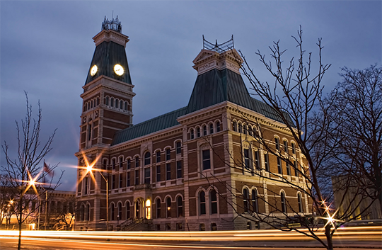
Founded in 1821, Bartholomew County is located in the southeastern part of the state with Columbus serving as the county seat. Covering 409 square miles, it lies mostly in the level areas surrounding the East Fork of the White River and its tributaries. The county is intersected by Interstate Highway 65 and U.S. Highway 31 which provide transportation for its commerce, along with one rail line that moves millions of tons of freight through the county annually. Agriculture, manufacturing, and tourism make up the majority of the county's economy.
If documentation has been set, a metal detector can help locate the metal pins at property corners. Depending on the accuracy needed on the property line, a private surveyor may need to verify the monument location.
You will need to call a private land surveyor for this information.
The County Surveyor's office only marks county right-of-way lines, we leave the property lines to private land surveyors.
Hire a private surveyor to verify the accuracy of the neighbor's survey.
You will need to hire a private surveryor, then get a Certified Site Plan, which is required by Building and Zoning in order to construct a building.
As a government office, we cannot direct you to any particular company. We recommend that you refer to the yellow pages and look under "Land Surveyors" and go from there.
